GPS Map Camera: Enhance Your Photos with Location Details
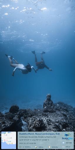
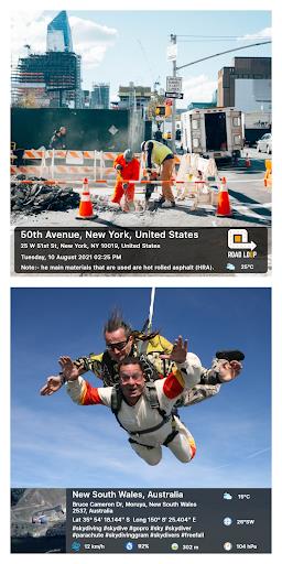
GPS Map Camera lets you effortlessly enrich your photos with precise location data, including date, time, latitude, longitude, altitude, weather conditions, magnetic field strength, and compass direction. Ideal for travel enthusiasts and those documenting specific locations, this app tracks your live position as you shoot, creating lasting memories. Share your geotagged photos with loved ones, keeping them updated on your adventures.
Key Features:
- Geotag Photos: Add comprehensive location information (date, time, coordinates, weather, etc.) directly to your photos.
- Live Location Tracking: Capture your journey by recording your live location with each photo.
- Easy Sharing: Share your location-tagged memories instantly with family and friends.
- Customizable Camera: Enjoy a versatile camera with features like grid lines, aspect ratios, front/selfie camera options, flash, focus control, mirroring, timer, and sound capture.
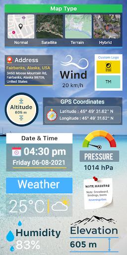
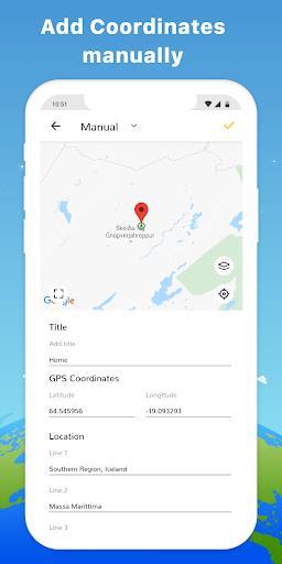
- Advanced Stamp Templates: Customize your location stamps with various map types, manual/automatic location tagging, GPS coordinates, date/time stamps, logos, notes, and hashtags.
- Detailed Tracking: Access comprehensive location data including wind speed, humidity, pressure, altitude, and location accuracy.
In short:
GPS Map Camera is a powerful tool for travelers, bloggers, businesses, and anyone wanting to add detailed GPS information to their photos. Its intuitive design and extensive features make it a must-have app for enhancing your photography experience. Download GPS Map Camera today and share your feedback!


