
Monitor hurricanes, typhoons, and tropical cyclones in real time with live tracking.
Zoom Earth is a dynamic global weather map and live hurricane tracker. It provides satellite imagery, precipitation radar, weather forecast maps, hurricane and wildfire monitoring, along with extensive customization settings.
[Key Features]
1. Satellite Imagery: View near real-time weather maps using satellite data from NOAA GOES, JMA Himawari, EUMETSAT Meteosat, and NASA's Aqua and Terra polar-orbiting satellites.
2. Rain Radar: Anticipate storms with our live weather radar map, displaying real-time rain and snow detection from ground-based Doppler radar.
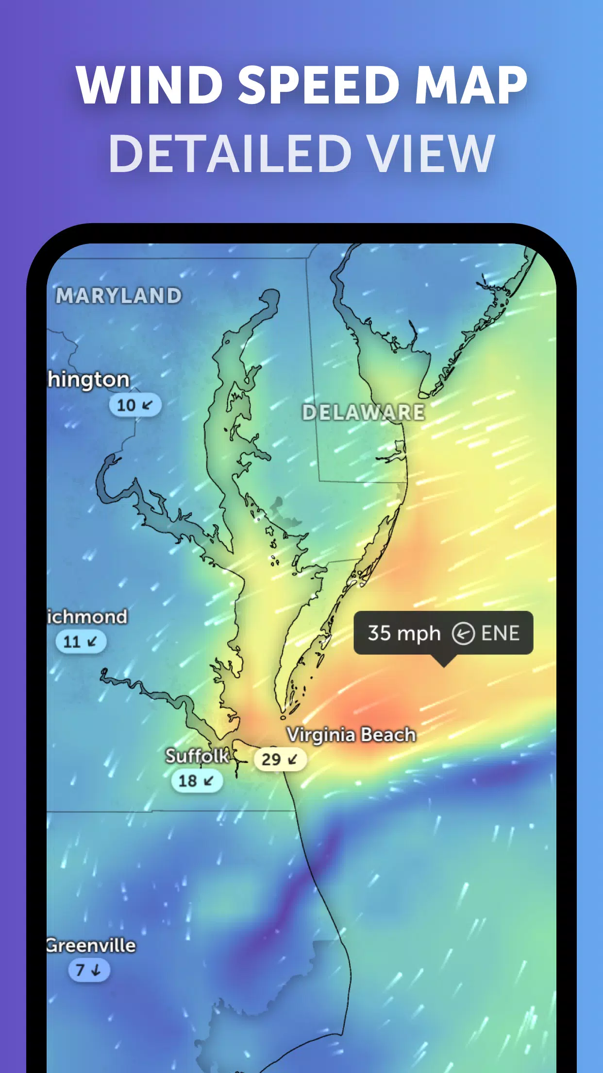
3. Weather Forecast Maps: Discover interactive global forecast visualizations for precipitation, wind speed and gusts, temperature, "feels like" temperature, humidity, dew point, and atmospheric pressure.
4. Hurricane Tracking: Track tropical systems in real time from formation to Category 5 strength using our advanced tracking system, powered by the latest data from NHC, JTWC, NRL, and IBTrACS.
5. Wildfire Tracking: Observe active wildfires and heat spots with our daily updated overlay, which identifies high-temperature areas via satellite data from NASA FIRMS.
6. Customization: Personalize your experience by adjusting temperature and wind units, time zone, animation styles, and many other settings.
What's New in the Latest Version 3.1
Last updated on Sep 19, 2024
- Simplified the display when multiple tropical systems are active.
- Introduced separate alerts for Atlantic and Eastern Pacific storm systems.
- Enhanced the clarity and readability of map labels.